Perhe vaeltamassa Oulangan kansallispuistossa. Kuva Jani Kärppä.

Hiking trails

Fall head over heels for the diverse selection of trails

In addition to the legendary Karhunkierros Trail, Kuusamo has dozens of other trails set in stunning scenery. You can find many day trip trails of different lengths and difficulty levels in the Ruka fell area.

The trails are marked in the terrain and in the free Ruka-Kuusamo Summer Map that is distributed at Ruka Info and in hotel receptions.

Ruka-Kuusamo SUMMER MAP

Hiking trails in Ruka-Kuusamo

Trails in Ruka and the Valtavaara-Pyhävaara Nature Reserve

Kuusamo is the only region in Finland south of Lapland where differences in altitude are over 200 metres. There are about twenty tops that reach over 300 metres, and fells climbing to almost 500 metres include Valtavaara, Iivaara, Rukatunturi, Konttainen, Kuntivaara and Pyhävaara.

Ruka Slope area

Ruka consists of four peaks, after which the Ruka Slopes have been partially named: Pessari, Saarua, Ruka (Front Slopes and Vuosseli) and Masto.

In the summer, the Ruka area has plenty of marked day trip trails: Rukan ympärysreitti circular trail and the Rukatunturi, Kalliolampi and Kivilampi trails. With the exception of the Rukatunturi Trail, these trails are ski trails in the winter.

In June–September, you can reach the Ruka peak with the scenic gondola and head down the slopes either on foot or on the summer sled track.

There are two multi-purpose all-year trails in the Masto area: an accessible trail and the Juhannuskallio trail/snowshoe trail. The starting point of these trails can be accessed by car all year round.

In winter, you can reach Ruka peak with a valid ski pass, skiing or snowboarding or by travelling on foot with the Village-2-Valley gondola. 

In addition, there is a snowshoe path to Saarua peak that is 1 kilometre (from the Village-2-Valley gondola’s top station) or 1.5 kilometres (from Ruka village).

HIKING TRAILS ONLINE MAP

Valtavaara area

Valtavaara can be accesses along the Valtavaaran huiputus Trail during the summer. Also the 80 km long Karhunkierros Trail goes through Valtavaara on the way to its final destination at Ruka.

The Valtavaara area has snowshoe trails of 2, 3 and 5.5 km during the winter. Valtavaara Ski Trail takes skiers to the kota hut near the peak of Valtavaara.

Mountain biking is permitted in Valtavaara year round due to the delicate species in the nature reserve. 

HIKING TRAILS ONLINE MAP

Pyhävaaran alue

The Pyhän Jyssäys trail takes hikers from Ruka along Plantingintie to the peak of Pikku-Pyhävaara fell to admire the scenery of Ruka Slopes from a distance.

Pyhän Jyssäys can be accessed by foot and by mountain bike during the summer and by foot and fatbike during winter, on heavy snowfall you will need snowshoes. 

Pyhävaara can be accessed along the Pyhävaara Ski Trail during winter too. 

HIKING TRAILS ONLINE MAP

Summer in Ruka-Kuusamo is full of adventures

Midnight sun, reindeer, bears, whitewater rafting, paddling, hiking, biking... welcome to experience all the wonders of summer in Lapland! 

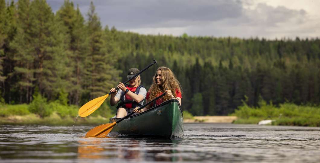
Melontaa kanootilla Oulangan kansallispuistossa, kuva: Harri Tarvainen

Finding accommodation is easy!

Ruka-Kuusamo Travel Search helps you in finding the vacant accommodation and prices for your holiday.